
Thank you for supporting this site ❤️
Make a donation
Make a donation
Dogtooth Bend topographic map
Click on the map to display elevation.
Thank you for supporting this site ❤️
Make a donation
Make a donation
About this map
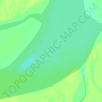
Name: Dogtooth Bend topographic map, elevation, terrain.
Location: Dogtooth Bend, Kusilvak Census Area, Alaska, United States (61.89240 -162.69253 61.91240 -162.67253)
Average elevation: 8 m
Minimum elevation: 0 m
Maximum elevation: 13 m
Thank you for supporting this site ❤️
Make a donation
Make a donation
Other topographic maps
Click on a map to view its topography, its elevation and its terrain.