
Labarrière topographic map
Interactive map
Click on the map to display elevation.
About this map
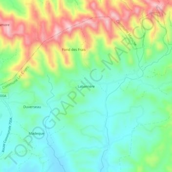
Name: Labarrière topographic map, elevation, terrain.
Average elevation: 133 m
Minimum elevation: 42 m
Maximum elevation: 304 m
Other topographic maps
Click on a map to view its topography, its elevation and its terrain.
Croix Martyre
Haïti > Département du Sud > Les Cayes > Carrefour Bourdet
Croix Martyre, 1re Bourdet, Carrefour Bourdet, Les Cayes, Arrondissement des Cayes, Département du Sud, Haïti
Average elevation: 22 m
Bambou
Haïti > Département du Sud > Les Cayes
Bambou, Les Cayes, Arrondissement des Cayes, Département du Sud, Haïti
Average elevation: 32 m