
Thank you for supporting this site ❤️
Make a donation
Make a donation
Algonquin topographic map
Click on the map to display elevation.
Thank you for supporting this site ❤️
Make a donation
Make a donation
About this map
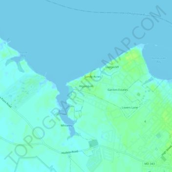
Name: Algonquin topographic map, elevation, terrain.
Location: Algonquin, Dorchester County, Maryland, 21613, United States (38.56290 -76.12577 38.60290 -76.08577)
Average elevation: 3 m
Minimum elevation: -2 m
Maximum elevation: 11 m
Thank you for supporting this site ❤️
Make a donation
Make a donation
Other topographic maps
Click on a map to view its topography, its elevation and its terrain.