
Thank you for supporting this site ❤️
Make a donation
Make a donation
Warr TC East topographic map
Click on the map to display elevation.
Thank you for supporting this site ❤️
Make a donation
Make a donation
About this map
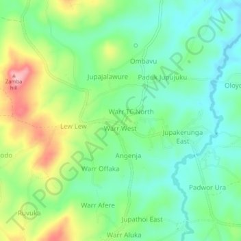
Name: Warr TC East topographic map, elevation, terrain.
Location: Warr TC East, Zombo, Northern Region, Uganda (2.58058 30.86969 2.62058 30.90969)
Average elevation: 1,392 m
Minimum elevation: 1,338 m
Maximum elevation: 1,498 m
Thank you for supporting this site ❤️
Make a donation
Make a donation