
Thank you for supporting this site ❤️
Make a donation
Make a donation
Dongricha Padha topographic map
Click on the map to display elevation.
Thank you for supporting this site ❤️
Make a donation
Make a donation
About this map
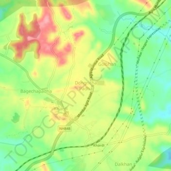
Name: Dongricha Padha topographic map, elevation, terrain.
Location: Dongricha Padha, Shahapur, Thane, Maharashtra, India (19.57314 73.37058 19.61314 73.41058)
Average elevation: 226 m
Minimum elevation: 174 m
Maximum elevation: 285 m
Thank you for supporting this site ❤️
Make a donation
Make a donation
Other topographic maps
Click on a map to view its topography, its elevation and its terrain.