
Thank you for supporting this site ❤️
Make a donation
Make a donation
Charlotte Harbor topographic map
Click on the map to display elevation.
Thank you for supporting this site ❤️
Make a donation
Make a donation
About this map
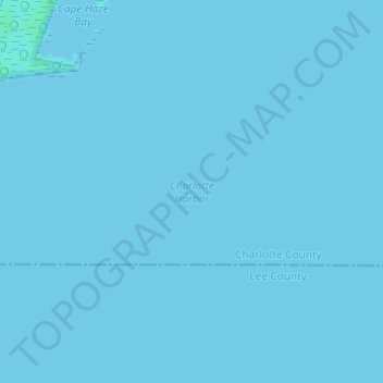
Name: Charlotte Harbor topographic map, elevation, terrain.
Location: Charlotte Harbor, Charlotte County, Florida, USA (26.77585 -82.14209 26.77595 -82.14199)
Average elevation: 0 m
Minimum elevation: 0 m
Maximum elevation: 4 m
Thank you for supporting this site ❤️
Make a donation
Make a donation
Other topographic maps
Click on a map to view its topography, its elevation and its terrain.