
Thank you for supporting this site ❤️
Make a donation
Make a donation
Eichelberg topographic map
Click on the map to display elevation.
Thank you for supporting this site ❤️
Make a donation
Make a donation
About this map
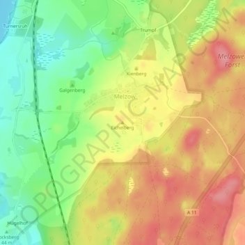
Name: Eichelberg topographic map, elevation, terrain.
Location: Eichelberg, Melzow, Uckermark, Brandenburg, 17291, Deutschland (53.16477 13.89039 53.16487 13.89049)
Average elevation: 67 m
Minimum elevation: 15 m
Maximum elevation: 115 m
Thank you for supporting this site ❤️
Make a donation
Make a donation