
Thank you for supporting this site ❤️
Make a donation
Make a donation
Illinoi topographic map
Click on the map to display elevation.
Thank you for supporting this site ❤️
Make a donation
Make a donation
About this map
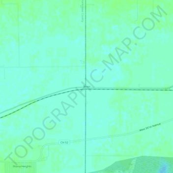
Name: Illinoi topographic map, elevation, terrain.
Location: Illinoi, Lake County, Indiana, United States (41.16976 -87.54615 41.20976 -87.50615)
Average elevation: 192 m
Minimum elevation: 188 m
Maximum elevation: 195 m
Thank you for supporting this site ❤️
Make a donation
Make a donation
Other topographic maps
Click on a map to view its topography, its elevation and its terrain.
Thank you for supporting this site ❤️
Make a donation
Make a donation
Thank you for supporting this site ❤️
Make a donation
Make a donation