
Thank you for supporting this site ❤️
Make a donation
Make a donation
Kampung Benus topographic map
Click on the map to display elevation.
Thank you for supporting this site ❤️
Make a donation
Make a donation
About this map
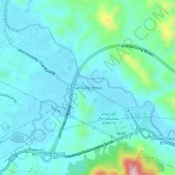
Name: Kampung Benus topographic map, elevation, terrain.
Location: Kampung Benus, Bentong, Pahang, 28700, Malaysia (3.47389 101.91261 3.51389 101.95261)
Average elevation: 132 m
Minimum elevation: 78 m
Maximum elevation: 415 m
Thank you for supporting this site ❤️
Make a donation
Make a donation
Other topographic maps
Click on a map to view its topography, its elevation and its terrain.