
Thank you for supporting this site ❤️
Make a donation
Make a donation
Mapita topographic map
Click on the map to display elevation.
Thank you for supporting this site ❤️
Make a donation
Make a donation
About this map
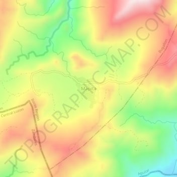
Name: Mapita topographic map, elevation, terrain.
Location: Mapita, Aguilar, Pangasinan, Ilocos Region, Philippines (15.80649 120.12645 15.84649 120.16645)
Average elevation: 479 m
Minimum elevation: 184 m
Maximum elevation: 773 m
Thank you for supporting this site ❤️
Make a donation
Make a donation