
Grängesberg topographic map
Interactive map
Click on the map to display elevation.
About this map
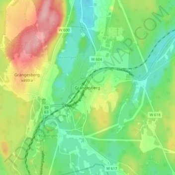
Name: Grängesberg topographic map, elevation, terrain.
Location: Grängesberg, Ludvika kommun, Provinz Dalarna, 772 30, Schweden (60.05516 14.98675 60.09516 15.02675)
Average elevation: 290 m
Minimum elevation: 237 m
Maximum elevation: 379 m