
Parque Independencia topographic map
Interactive map
Click on the map to display elevation.
About this map
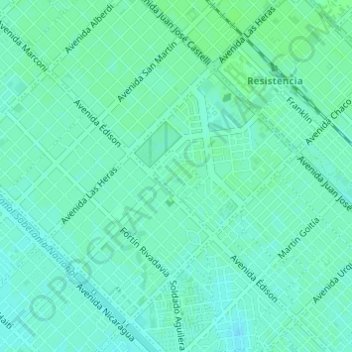
Name: Parque Independencia topographic map, elevation, terrain.
Average elevation: 53 m
Minimum elevation: 49 m
Maximum elevation: 56 m
Other topographic maps
Click on a map to view its topography, its elevation and its terrain.
Resistencia
Argentina > Chaco > Resistencia
Resistencia, Departamento San Fernando, Chaco, Argentina
Average elevation: 51 m
Malvinas
Argentina > Chaco > Resistencia
Malvinas, Resistencia, Municipio de Resistencia, Departamento San Fernando, Chaco, Argentina
Average elevation: 52 m