
Thank you for supporting this site ❤️
Make a donation
Make a donation
Cordell topographic map
Click on the map to display elevation.
Thank you for supporting this site ❤️
Make a donation
Make a donation
About this map
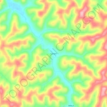
Name: Cordell topographic map, elevation, terrain.
Location: Cordell, Lawrence County, Kentucky, United States (37.98565 -82.81294 38.02565 -82.77294)
Average elevation: 276 m
Minimum elevation: 193 m
Maximum elevation: 358 m
Thank you for supporting this site ❤️
Make a donation
Make a donation
Other topographic maps
Click on a map to view its topography, its elevation and its terrain.