
Laurel County topographic map
Interactive map
Click on the map to display elevation.
About this map
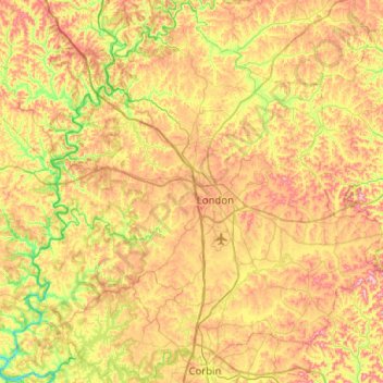
Name: Laurel County topographic map, elevation, terrain.
Location: Laurel County, Kentucky, United States (36.93896 -84.36845 37.33589 -83.86255)
Average elevation: 351 m
Minimum elevation: 208 m
Maximum elevation: 525 m