
Thank you for supporting this site ❤️
Make a donation
Make a donation
Carlton topographic map
Click on the map to display elevation.
Thank you for supporting this site ❤️
Make a donation
Make a donation
About this map
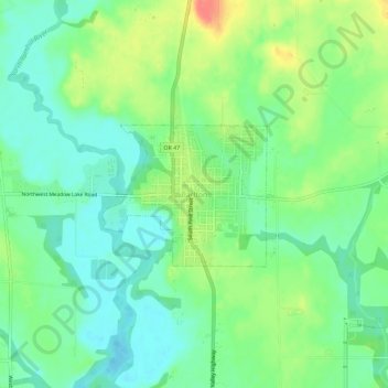
Name: Carlton topographic map, elevation, terrain.
Location: Carlton, Yamhill County, Oregon, 97111, United States (45.27428 -123.19649 45.31428 -123.15649)
Average elevation: 51 m
Minimum elevation: 31 m
Maximum elevation: 86 m
Thank you for supporting this site ❤️
Make a donation
Make a donation