
Thank you for supporting this site ❤️
Make a donation
Make a donation
Glasberg topographic map
Click on the map to display elevation.
Thank you for supporting this site ❤️
Make a donation
Make a donation
About this map
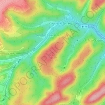
Name: Glasberg topographic map, elevation, terrain.
Location: Glasberg, Pirmasens, Rheinland-Pfalz, 66976, Deutschland (49.20711 7.64567 49.20721 7.64577)
Average elevation: 360 m
Minimum elevation: 290 m
Maximum elevation: 439 m
Thank you for supporting this site ❤️
Make a donation
Make a donation