
Thank you for supporting this site ❤️
Make a donation
Make a donation
Ward Butte topographic map
Click on the map to display elevation.
Thank you for supporting this site ❤️
Make a donation
Make a donation
About this map
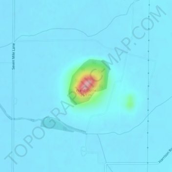
Name: Ward Butte topographic map, elevation, terrain.
Location: Ward Butte, Linn County, Oregon, United States (44.46868 -123.02320 44.46878 -123.02310)
Average elevation: 89 m
Minimum elevation: 80 m
Maximum elevation: 249 m
Thank you for supporting this site ❤️
Make a donation
Make a donation
Other topographic maps
Click on a map to view its topography, its elevation and its terrain.