
Ra’iātea topographic map
Interactive map
Click on the map to display elevation.
About this map
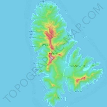
Name: Ra’iātea topographic map, elevation, terrain.
Location: Ra’iātea, Îles Sous-le-Vent, Polynésie française, France (-16.91802 -151.49351 -16.72077 -151.35196)
Average elevation: 62 m
Minimum elevation: -1 m
Maximum elevation: 985 m