
Thank you for supporting this site ❤️
Make a donation
Make a donation
Ringenstellen topographic map
Click on the map to display elevation.
Thank you for supporting this site ❤️
Make a donation
Make a donation
Ringenstellen
Der Ort Ringenstellen liegt im Nutscheid auf etwa 150 m ü. NHN. Er liegt im Tal des Rieferather Baches und gehört zur Herchener Höhe. Südlich von Ringenstellen mündet der Rieferather Bach in den Ottersbach. Nachbarorte sind Rieferath sowie Niederottersbach in der Gemeinde Eitorf.
Thank you for supporting this site ❤️
Make a donation
Make a donation
About this map
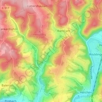
Name: Ringenstellen topographic map, elevation, terrain.
Average elevation: 190 m
Minimum elevation: 88 m
Maximum elevation: 283 m
Thank you for supporting this site ❤️
Make a donation
Make a donation