
Abba topographic map
Interactive map
Click on the map to display elevation.
About this map
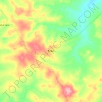
Name: Abba topographic map, elevation, terrain.
Location: Abba, Nana-Mambéré, Central African Republic (5.29141 15.11056 5.37141 15.19056)
Average elevation: 704 m
Minimum elevation: 640 m
Maximum elevation: 779 m