
Thank you for supporting this site ❤️
Make a donation
Make a donation
Hillarp topographic map
Click on the map to display elevation.
Thank you for supporting this site ❤️
Make a donation
Make a donation
About this map
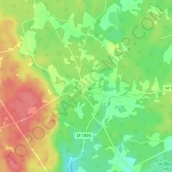
Name: Hillarp topographic map, elevation, terrain.
Location: Hillarp, Hässleholms kommun, Provinz Schonen, Schweden (56.26550 13.61867 56.30550 13.65867)
Average elevation: 113 m
Minimum elevation: 80 m
Maximum elevation: 155 m
Thank you for supporting this site ❤️
Make a donation
Make a donation