
Sundsvall topographic map
Interactive map
Click on the map to display elevation.
About this map
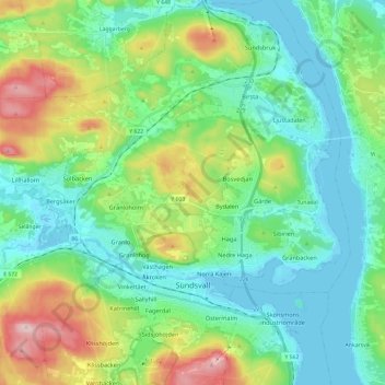
Name: Sundsvall topographic map, elevation, terrain.
Location: Sundsvall, Sundsvalls kommun, Provinz Västernorrland, Schweden (62.36200 17.19613 62.47232 17.39866)
Average elevation: 70 m
Minimum elevation: -4 m
Maximum elevation: 258 m