
Thank you for supporting this site ❤️
Make a donation
Make a donation
Tala topographic map
Click on the map to display elevation.
Thank you for supporting this site ❤️
Make a donation
Make a donation
About this map
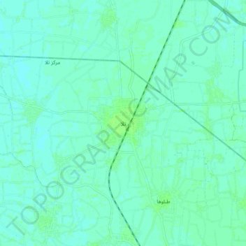
Name: Tala topographic map, elevation, terrain.
Location: Tala, Al Minufiya, 32611, Egypt (30.64002 30.90339 30.72002 30.98339)
Average elevation: 10 m
Minimum elevation: 7 m
Maximum elevation: 15 m
Thank you for supporting this site ❤️
Make a donation
Make a donation
Other topographic maps
Click on a map to view its topography, its elevation and its terrain.