
Thank you for supporting this site ❤️
Make a donation
Make a donation
Ruapuna topographic map
Click on the map to display elevation.
Thank you for supporting this site ❤️
Make a donation
Make a donation
About this map
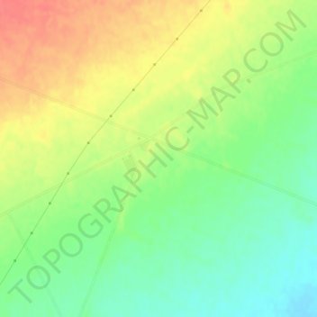
Name: Ruapuna topographic map, elevation, terrain.
Location: Ruapuna, Ashburton District, New Zealand (-43.87331 171.32922 -43.85331 171.34922)
Average elevation: 302 m
Minimum elevation: 275 m
Maximum elevation: 332 m
Thank you for supporting this site ❤️
Make a donation
Make a donation
Other topographic maps
Click on a map to view its topography, its elevation and its terrain.