
Thank you for supporting this site ❤️
Make a donation
Make a donation
Worringen topographic map
Click on the map to display elevation.
Thank you for supporting this site ❤️
Make a donation
Make a donation
About this map
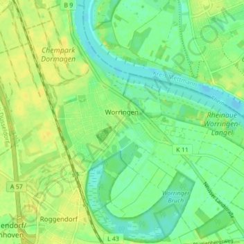
Name: Worringen topographic map, elevation, terrain.
Location: Worringen, Chorweiler, Köln, Nordrhein-Westfalen, Deutschland (51.04240 6.82453 51.08497 6.89307)
Average elevation: 42 m
Minimum elevation: 32 m
Maximum elevation: 51 m
Thank you for supporting this site ❤️
Make a donation
Make a donation
Other topographic maps
Click on a map to view its topography, its elevation and its terrain.