
Thank you for supporting this site ❤️
Make a donation
Make a donation
Lisdorf topographic map
Click on the map to display elevation.
Thank you for supporting this site ❤️
Make a donation
Make a donation
Lisdorf
Bei Lisdorf befindet sich eine Staustufe der 1999 vollendeten Bundeswasserstraße Saar (Teilstrecke Dillingen-Lisdorf 1994 eröffnet; Schleuse Lisdorf: 3,80 m Hubhöhe).
Thank you for supporting this site ❤️
Make a donation
Make a donation
About this map
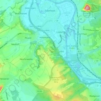
Name: Lisdorf topographic map, elevation, terrain.
Location: Lisdorf, Saarlouis, Landkreis Saarlouis, Saarland, Deutschland (49.26028 6.73356 49.32296 6.78167)
Average elevation: 207 m
Minimum elevation: 173 m
Maximum elevation: 328 m
Thank you for supporting this site ❤️
Make a donation
Make a donation