
Mevagissey topographic map
Interactive map
Click on the map to display elevation.
About this map
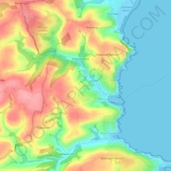
Name: Mevagissey topographic map, elevation, terrain.
Location: Mevagissey, Cornwall, Engeland, Verenigd Koninkrijk (50.25516 -4.81367 50.28955 -4.76524)
Average elevation: 44 m
Minimum elevation: 0 m
Maximum elevation: 105 m