
Koro topographic map
Interactive map
Click on the map to display elevation.
About this map
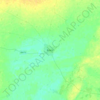
Name: Koro topographic map, elevation, terrain.
Location: Koro, Koro Cercle, Mopti, Mali (13.90985 -3.24070 14.22985 -2.92070)
Average elevation: 261 m
Minimum elevation: 255 m
Maximum elevation: 271 m