
Balingian topographic map
Click on the map to display elevation.
About this map
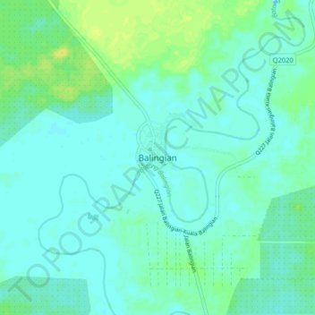
Name: Balingian topographic map, elevation, terrain.
Location: Balingian, Mukah, Mukah Division, Sarawak, Malaysia (2.88563 112.50251 2.96563 112.58251)
Average elevation: 5 m
Minimum elevation: -4 m
Maximum elevation: 17 m