
Charlestown topographic map
Interactive map
Click on the map to display elevation.
About this map
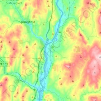
Name: Charlestown topographic map, elevation, terrain.
Location: Charlestown, Sullivan County, New Hampshire, 03603, USA (43.15793 -72.45294 43.33740 -72.33862)
Average elevation: 256 m
Minimum elevation: 81 m
Maximum elevation: 545 m