
Thank you for supporting this site ❤️
Make a donation
Make a donation
La Bunodière topographic map
Click on the map to display elevation.
Thank you for supporting this site ❤️
Make a donation
Make a donation
About this map
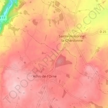
Name: La Bunodière topographic map, elevation, terrain.
Average elevation: 218 m
Minimum elevation: 91 m
Maximum elevation: 264 m
Thank you for supporting this site ❤️
Make a donation
Make a donation
Other topographic maps
Click on a map to view its topography, its elevation and its terrain.
La Chauviniere
France > Normandie > Orne > Athis-Val-de-Rouvre > Athis-de-l'Orne
Average elevation: 235 m