
Bida topographic map
Click on the map to display elevation.
About this map
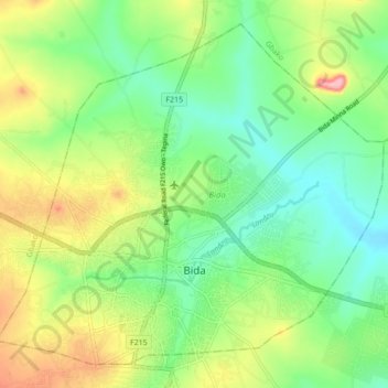
Name: Bida topographic map, elevation, terrain.
Location: Bida, Niger State, Nigeria (9.06263 5.97246 9.13753 6.05886)
Average elevation: 136 m
Minimum elevation: 86 m
Maximum elevation: 222 m
Other topographic maps
Click on a map to view its topography, its elevation and its terrain.