
Thank you for supporting this site ❤️
Make a donation
Make a donation
Mancini topographic map
Click on the map to display elevation.
Thank you for supporting this site ❤️
Make a donation
Make a donation
About this map
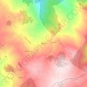
Name: Mancini topographic map, elevation, terrain.
Location: Mancini, Riccia, Campobasso, Molise, Italy (41.44560 14.86497 41.48560 14.90497)
Average elevation: 809 m
Minimum elevation: 479 m
Maximum elevation: 989 m
Thank you for supporting this site ❤️
Make a donation
Make a donation