Geolocate

Wotho topographic map

Interactive map

Click on the map to display elevation.

About this map

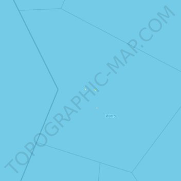
Name: Wotho topographic map, elevation, terrain.

Location: Wotho, Marshall Islands (9.48699 165.36370 10.84410 166.88495)

Average elevation: 0 m

Minimum elevation: 0 m

Maximum elevation: 16 m

Other topographic maps

Click on a map to view its topography, its elevation and its terrain.

Kwajalein

Marshall Islands

Average elevation: 0 m

Ningi

Marshall Islands > Kwajalein

Average elevation: 0 m

Marshall Islands

Marshall Islands

Due to its very low elevation, the Marshall Islands are threatened by the potential effects of sea level rise. According to the president of Nauru, the Marshall Islands are the most endangered nation in the world due to flooding from climate change.

Average elevation: 0 m

Wotho Atoll

Marshall Islands > Wotho

Average elevation: 0 m