
In Amguel topographic map
Interactive map
Click on the map to display elevation.
About this map
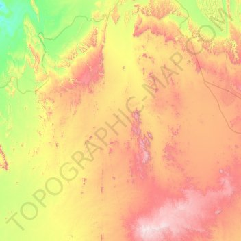
Name: In Amguel topographic map, elevation, terrain.
Location: In Amguel, de Tamanrasset District, Tamanrasset, Algeria (23.29830 1.42314 26.56719 5.52206)
Average elevation: 914 m
Minimum elevation: 252 m
Maximum elevation: 2,672 m