
Thank you for supporting this site ❤️
Make a donation
Make a donation
Mühlenberge topographic map
Click on the map to display elevation.
Thank you for supporting this site ❤️
Make a donation
Make a donation
About this map
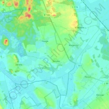
Name: Mühlenberge topographic map, elevation, terrain.
Location: Mühlenberge, Friesack, Havelland, Brandenburg, Deutschland (52.62460 12.51916 52.70341 12.69175)
Average elevation: 35 m
Minimum elevation: 26 m
Maximum elevation: 75 m
Thank you for supporting this site ❤️
Make a donation
Make a donation