
Thank you for supporting this site ❤️
Make a donation
Make a donation
Cypress Hills topographic map
Click on the map to display elevation.
Thank you for supporting this site ❤️
Make a donation
Make a donation
About this map
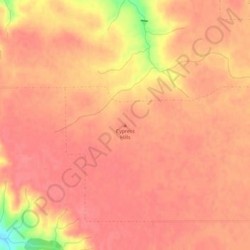
Name: Cypress Hills topographic map, elevation, terrain.
Location: Cypress Hills, White Valley No. 49, Saskatchewan, Canada (49.66504 -108.90071 49.66514 -108.90061)
Average elevation: 1,138 m
Minimum elevation: 1,081 m
Maximum elevation: 1,151 m
Thank you for supporting this site ❤️
Make a donation
Make a donation