
山图村 topographic map
Interactive map
Click on the map to display elevation.
About this map
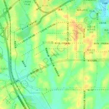
Name: 山图村 topographic map, elevation, terrain.
Location: 山图村, 红谷滩区, 南昌市, 江西省, 中国 (28.58566 115.71251 28.62566 115.75251)
Average elevation: 44 m
Minimum elevation: 25 m
Maximum elevation: 62 m
Other topographic maps
Click on a map to view its topography, its elevation and its terrain.