
Al Khalidiyah topographic map
Interactive map
Click on the map to display elevation.
About this map
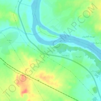
Name: Al Khalidiyah topographic map, elevation, terrain.
Location: Al Khalidiyah, Al Anbar, Iraq (33.68678 42.70669 33.72678 42.74669)
Average elevation: 75 m
Minimum elevation: 56 m
Maximum elevation: 108 m