
Creola topographic map
Click on the map to display elevation.
About this map
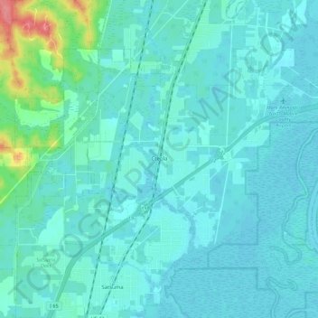
Name: Creola topographic map, elevation, terrain.
Location: Creola, Mobile County, Alabama, United States (30.85855 -88.06875 30.92464 -87.95759)
Average elevation: 11 m
Minimum elevation: 0 m
Maximum elevation: 79 m
Other topographic maps
Click on a map to view its topography, its elevation and its terrain.