
Serskamp topographic map
Interactive map
Click on the map to display elevation.
About this map
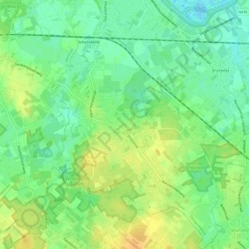
Name: Serskamp topographic map, elevation, terrain.
Location: Serskamp, Wichelen, Termonde, Flandre orientale, Belgique (50.97131 3.91139 51.00863 3.96958)
Average elevation: 14 m
Minimum elevation: -1 m
Maximum elevation: 29 m