
Thank you for supporting this site ❤️
Make a donation
Make a donation
Owings topographic map
Click on the map to display elevation.
Thank you for supporting this site ❤️
Make a donation
Make a donation
About this map
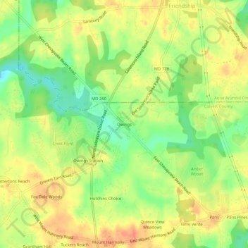
Name: Owings topographic map, elevation, terrain.
Location: Owings, Calvert County, Maryland, 20736, United States (38.69762 -76.62135 38.73762 -76.58135)
Average elevation: 35 m
Minimum elevation: 7 m
Maximum elevation: 58 m
Thank you for supporting this site ❤️
Make a donation
Make a donation
Other topographic maps
Click on a map to view its topography, its elevation and its terrain.