
Thank you for supporting this site ❤️
Make a donation
Make a donation
Tengaran topographic map
Click on the map to display elevation.
Thank you for supporting this site ❤️
Make a donation
Make a donation
About this map
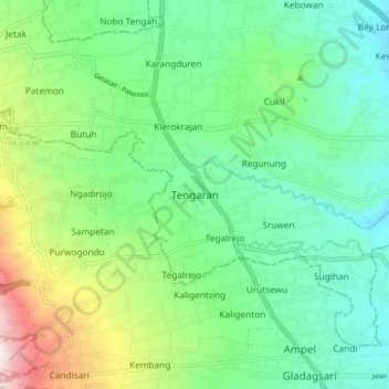
Name: Tengaran topographic map, elevation, terrain.
Location: Tengaran, Semarang, Central Java, Java, 50775, Indonesia (-7.46022 110.48186 -7.38022 110.56186)
Average elevation: 785 m
Minimum elevation: 555 m
Maximum elevation: 1,358 m
Thank you for supporting this site ❤️
Make a donation
Make a donation