
Thank you for supporting this site ❤️
Make a donation
Make a donation
Duola topographic map
Click on the map to display elevation.
Thank you for supporting this site ❤️
Make a donation
Make a donation
About this map
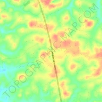
Name: Duola topographic map, elevation, terrain.
Location: Duola, Nzérékoré Prefecture, Nzérékoré Region, Guinea (7.82835 -8.88818 7.86835 -8.84818)
Average elevation: 459 m
Minimum elevation: 426 m
Maximum elevation: 491 m
Thank you for supporting this site ❤️
Make a donation
Make a donation