
Thank you for supporting this site ❤️
Make a donation
Make a donation
Mainhausen topographic map
Click on the map to display elevation.
Thank you for supporting this site ❤️
Make a donation
Make a donation
About this map
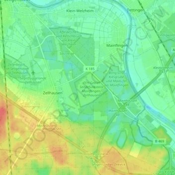
Name: Mainhausen topographic map, elevation, terrain.
Location: Mainhausen, Landkreis Offenbach, Hessen, 63533, Deutschland (49.98799 8.96934 50.04385 9.05137)
Average elevation: 117 m
Minimum elevation: 99 m
Maximum elevation: 148 m
Thank you for supporting this site ❤️
Make a donation
Make a donation