
Thank you for supporting this site ❤️
Make a donation
Make a donation
Southville topographic map
Click on the map to display elevation.
Thank you for supporting this site ❤️
Make a donation
Make a donation
About this map
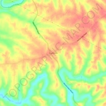
Name: Southville topographic map, elevation, terrain.
Location: Southville, Shelby County, Kentucky, United States (38.09007 -85.20190 38.13007 -85.16190)
Average elevation: 231 m
Minimum elevation: 191 m
Maximum elevation: 257 m
Thank you for supporting this site ❤️
Make a donation
Make a donation