
Katowice topographic map
Interactive map
Click on the map to display elevation.
About this map
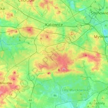
Name: Katowice topographic map, elevation, terrain.
Location: Katowice, GZM, Silesian Voivodeship, Poland (50.13006 18.89154 50.29769 19.12442)
Average elevation: 275 m
Minimum elevation: 236 m
Maximum elevation: 351 m