
İşhan topographic map
Interactive map
Click on the map to display elevation.
About this map
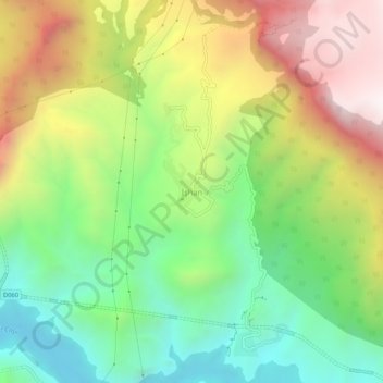
Name: İşhan topographic map, elevation, terrain.
Location: İşhan, Yusufeli, Artvin, Black Sea Region, Turkey (40.76639 41.72868 40.80639 41.76868)
Average elevation: 1,118 m
Minimum elevation: 596 m
Maximum elevation: 1,830 m