
Thank you for supporting this site ❤️
Make a donation
Make a donation
Wiler topographic map
Click on the map to display elevation.
Thank you for supporting this site ❤️
Make a donation
Make a donation
About this map
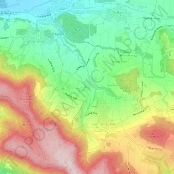
Name: Wiler topographic map, elevation, terrain.
Location: Wiler, Buch am Irchel, Bezirk Andelfingen, Zürich, 8414, Schweiz (47.53749 8.59444 47.57749 8.63444)
Average elevation: 502 m
Minimum elevation: 341 m
Maximum elevation: 701 m
Thank you for supporting this site ❤️
Make a donation
Make a donation