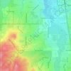
Castle Pines topographic map
Click on the map to display elevation.
Castle Pines
Castle Pines is located at 39°28′18″N 104°53′41″W / 39.471742°N 104.894827°W / 39.471742; -104.894827 (39.471742, -104.894827) at an elevation of 6,368 feet (1,941 m). Located on Interstate 25 in central Colorado, Castle Pines is 20 mi (32 km) south of downtown Denver and 43 mi (69 km) north of Colorado Springs.
About this map
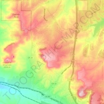
Name: Castle Pines topographic map, elevation, terrain.
Average elevation: 1,924 m
Minimum elevation: 1,778 m
Maximum elevation: 2,048 m
Other topographic maps
Click on a map to view its topography, its elevation and its terrain.




Hidden Mesa Open Space
United States > Colorado > Douglas County > Castle Rock
Average elevation: 1,902 m